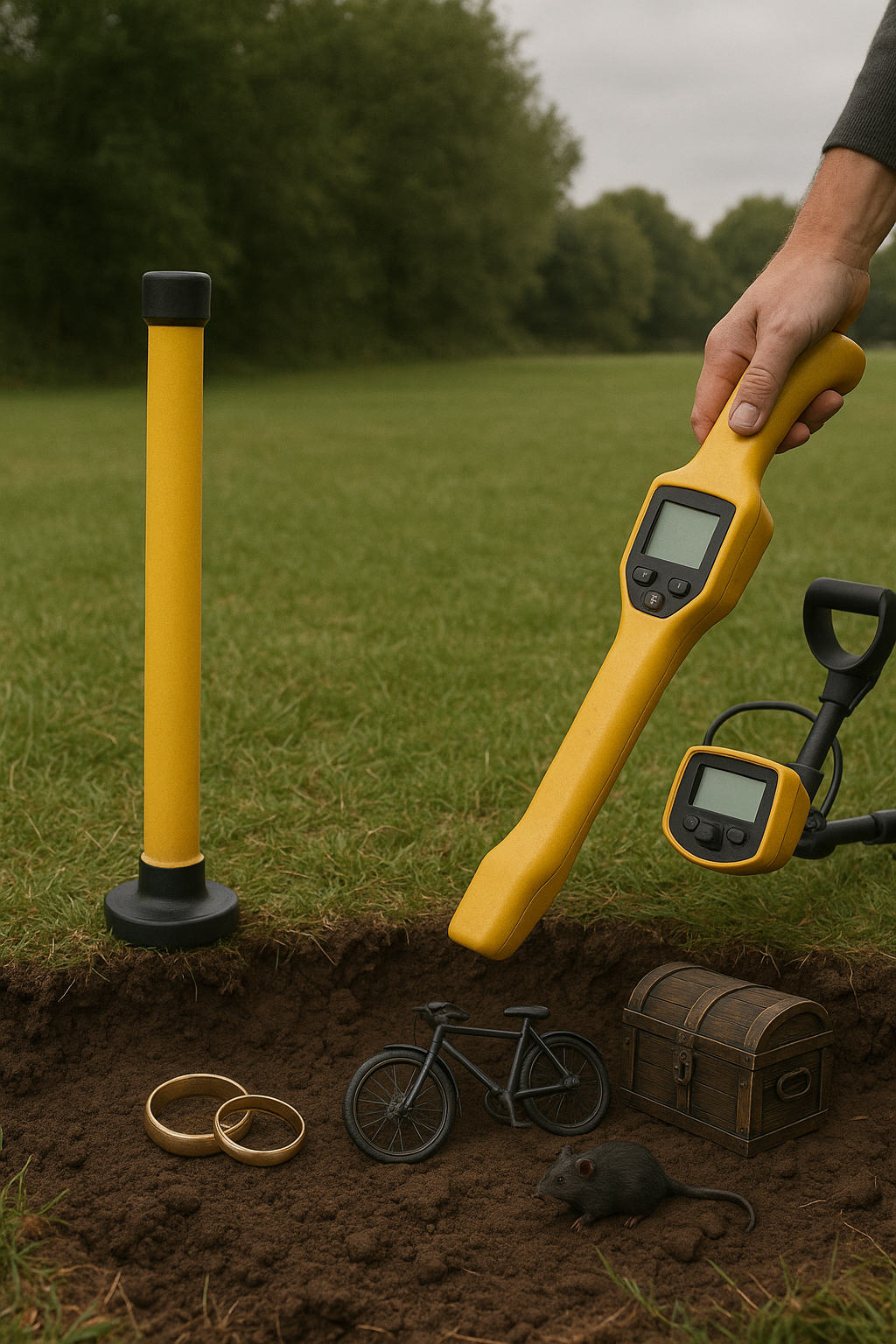
Utility Locating
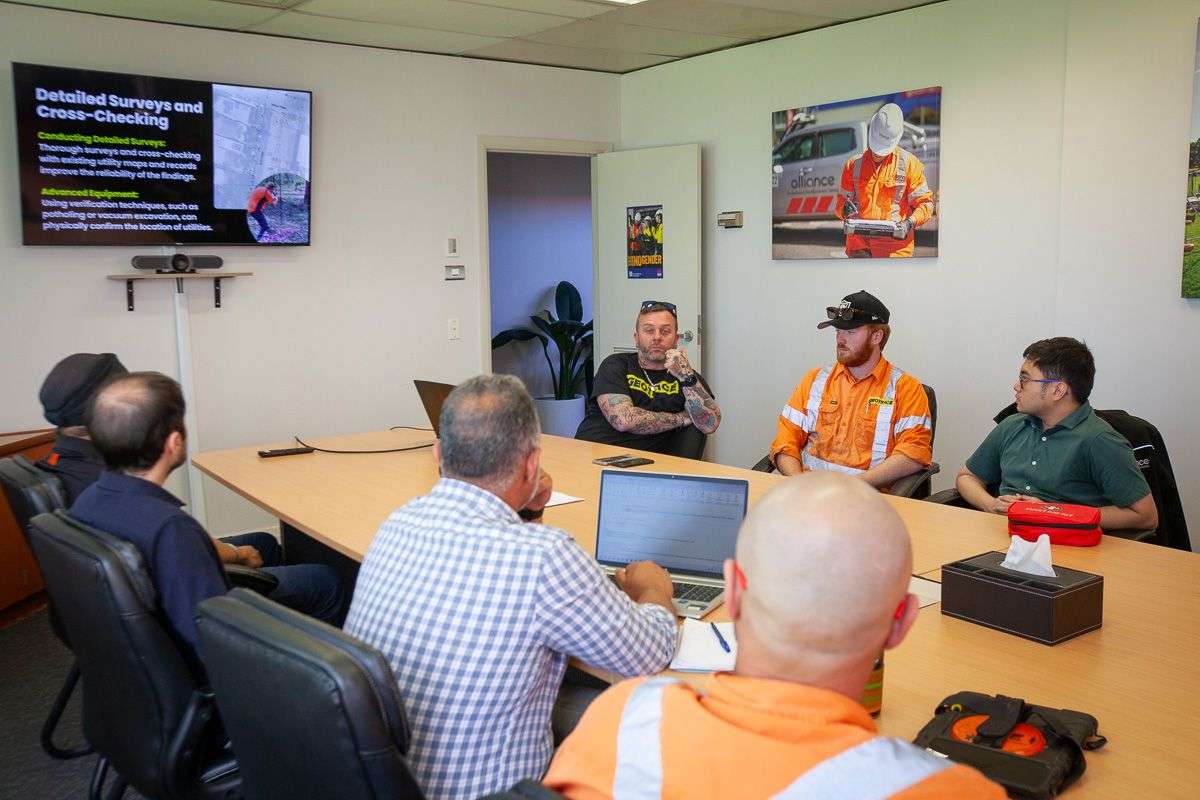
Geotrace Australia provides accurate underground utility locating services using advanced GPR and EMF technology to identify cables, pipes, and assets before you dig, ensuring safety, compliance, and project efficiency.
Geotrace Australia provides accurate underground utility locating services using advanced GPR and EMF technology to identify cables, pipes, and assets before you dig, ensuring safety, compliance, and project efficiency.
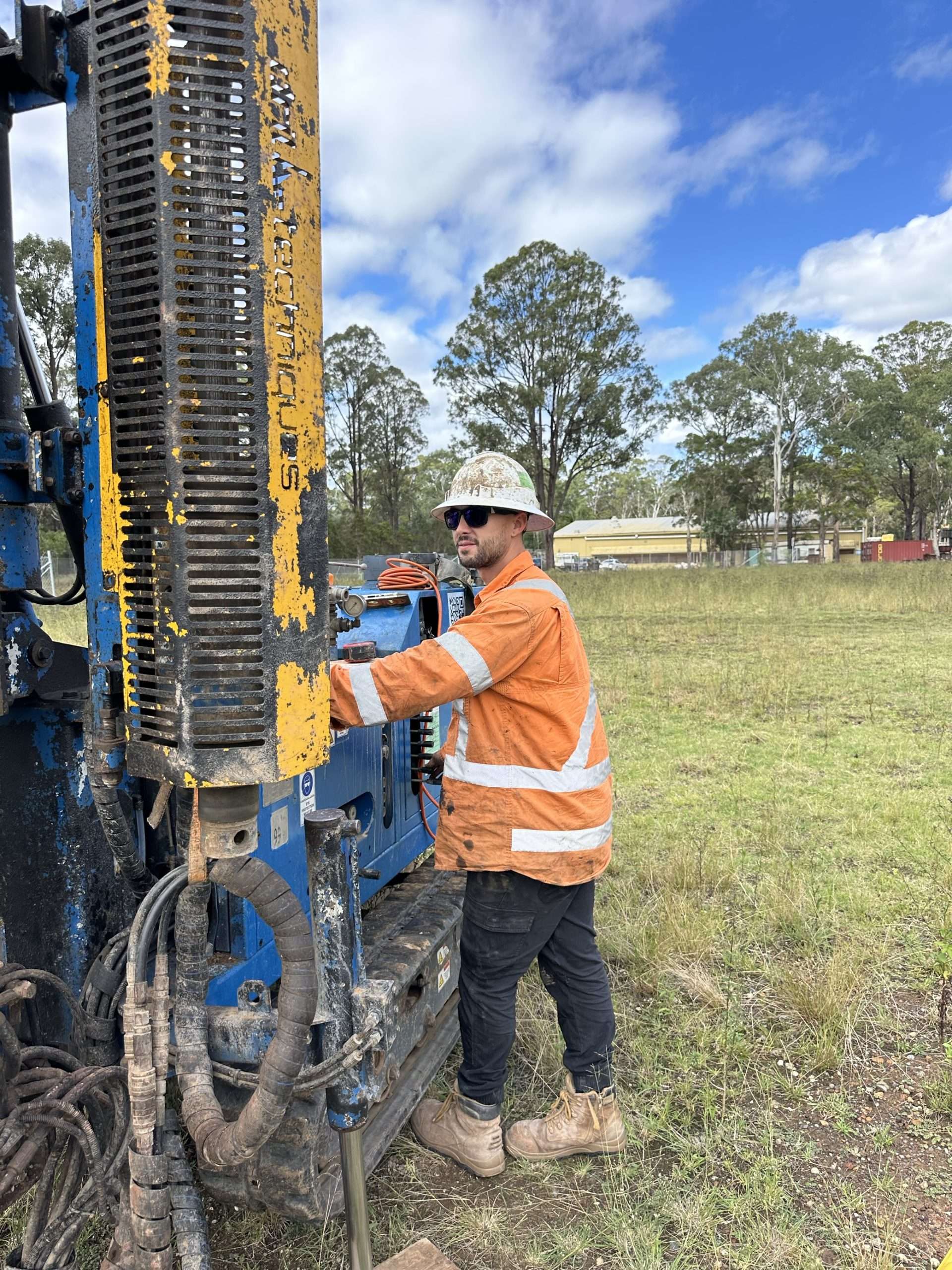
Geotrace offers precision drilling for environmental sampling and geotechnical investigations, delivering accurate subsurface data to support site assessments, remediation, and construction planning.
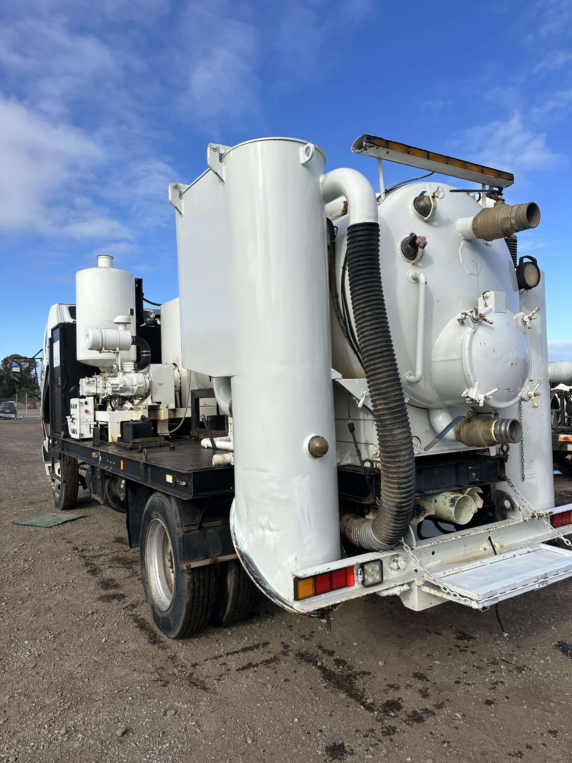
Geotrace provides safe, non-destructive excavation (vacuum potholing) to expose underground utilities without damaging existing infrastructure, ideal for service verification and sensitive sites.
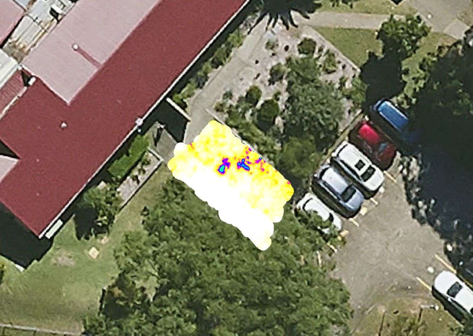
Geotrace delivers high-resolution ground penetrating radar (GPR) scanning to detect subsurface features with precision, ideal for complex sites, heritage structures, and layered utility networks.

Geotrace uses ground penetrating radar to locate buried utilities, voids, and structural elements with precision, providing real-time, non-invasive insights beneath the surface.

Geotrace provides concrete scanning services to detect rebar, post-tension cables, and conduits, ensuring safe drilling, coring, and structural modifications without damaging embedded elements.
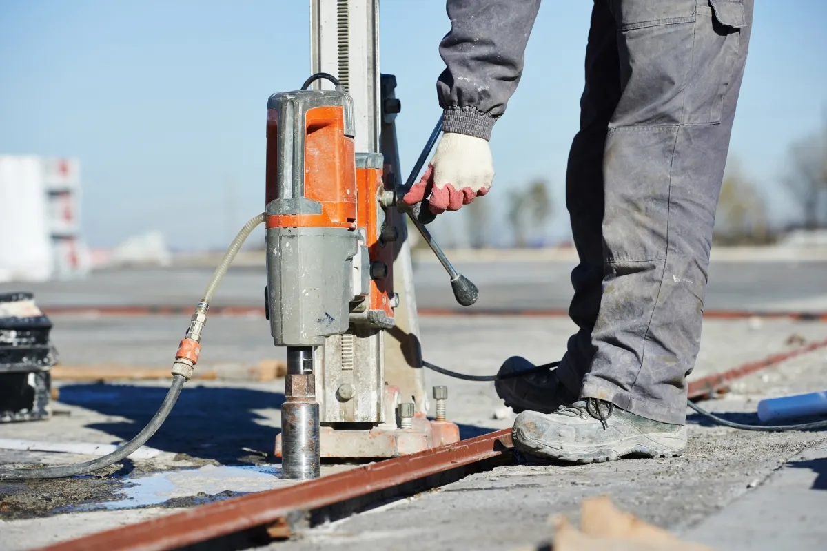
Geotrace offers precise concrete cutting and core drilling services for construction, renovation, and utility access, executed safely with minimal disruption to surrounding structures.
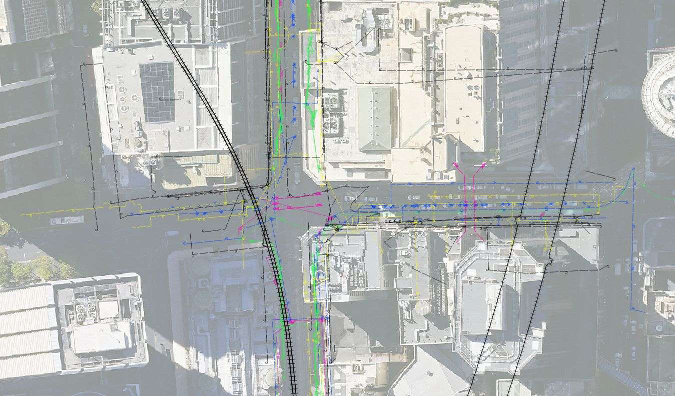
Geotrace provides accurate GPS mapping of underground utilities and site features, delivering georeferenced data to support planning, asset management, and compliance documentation.
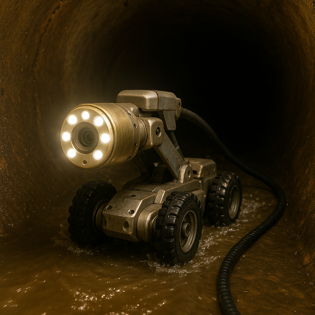
Geotrace conducts high-definition CCTV pipe inspections to assess the condition, alignment, and integrity of stormwater and sewer systems, supporting maintenance, repairs, and compliance reporting.
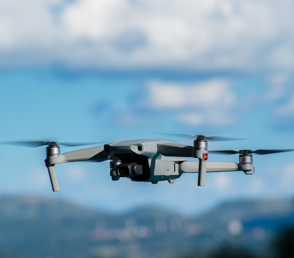
Geotrace operates CASA-certified drones for aerial surveys, site inspections, and progress monitoring, delivering high-quality imagery and data while ensuring full regulatory compliance.
Geotrace offers specialised locating services tailored to complex sites, including detection of non-metallic utilities, hazardous materials, and custom asset identification using advanced technology.
Geotrace provides expert Before You Dig (BYDA) consulting, combining utility records review and on-site verification to help clients manage excavation risks and comply with safety regulations.