Location: Drummoyne, NSW
Client: Confidential Government Services Contractor
Timeline: Completed Q2 2024
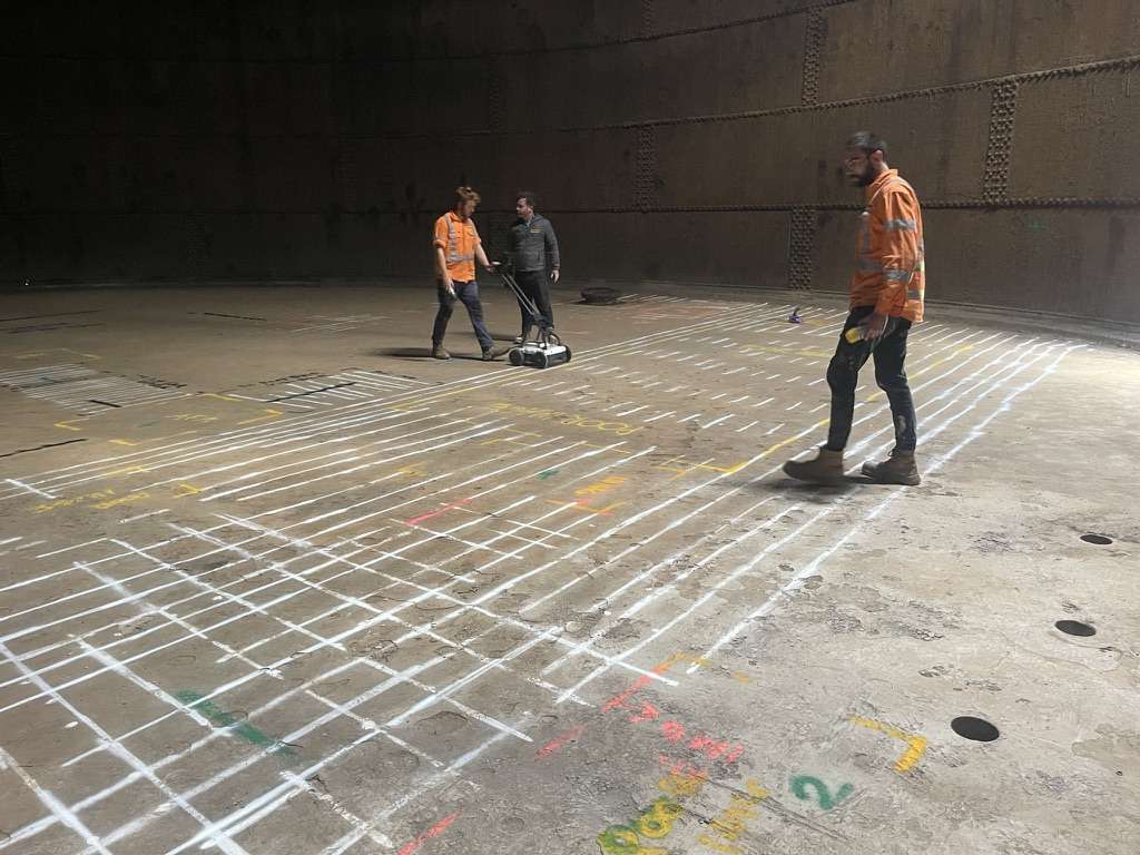
Geotrace Australia was engaged to perform advanced concrete scanning at the heritage-listed Drummoyne Reservoir, supporting structural assessments and planned maintenance works. The reservoir, decommissioned but maintained due to its historical significance and architectural features, required non-invasive investigation to determine the internal condition of its concrete components.
Concrete Scanning – Structural Risk Mitigation and Planning
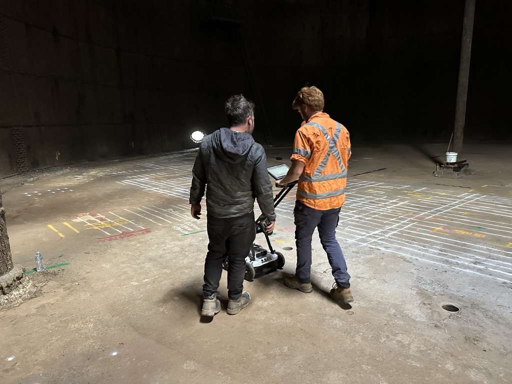
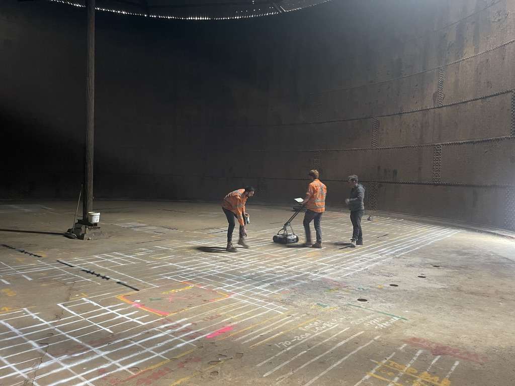
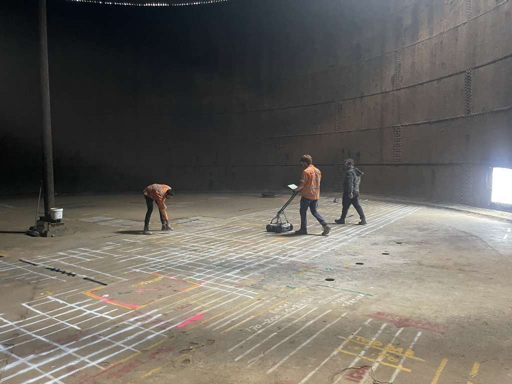
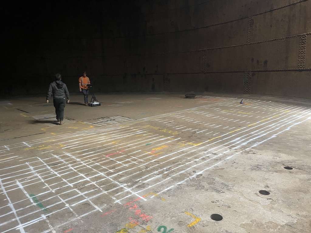
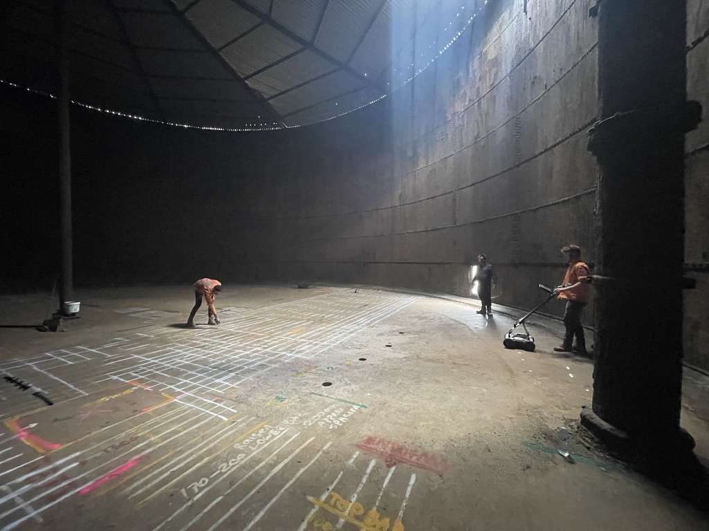
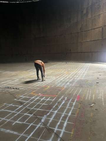
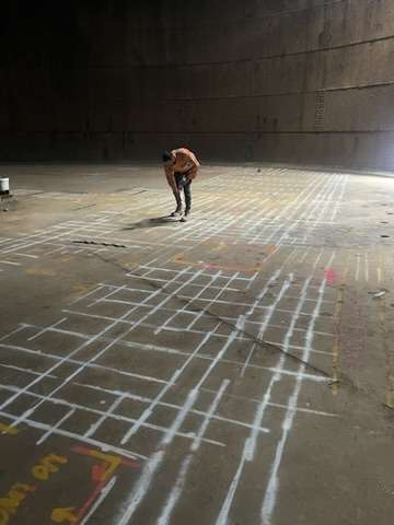
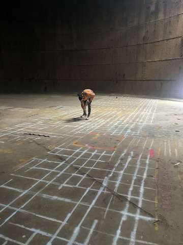
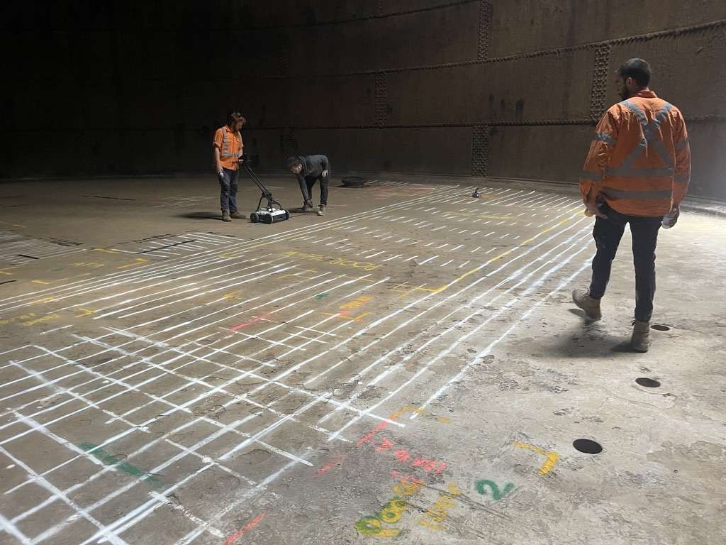
Our team deployed high-frequency ground penetrating radar (GPR) to scan the internal and external concrete surfaces of the reservoir’s dome and support columns. The goal was to identify potential voids, rebar layout, post-tensioning cables, and signs of degradation — all without compromising the heritage structure.
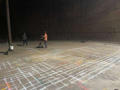
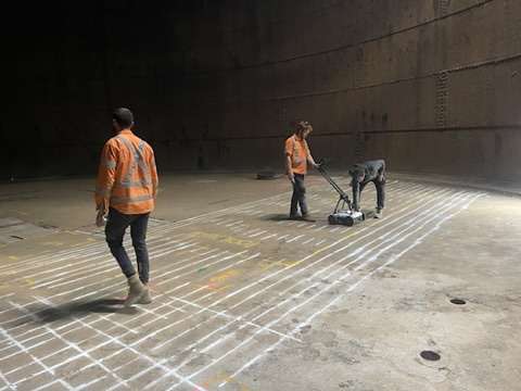
Due to the age and unique curvature of the structure, scanning was conducted manually with specialised hand-held GPR equipment to ensure full coverage and accuracy across irregular surfaces. Our team coordinated closely with structural engineers to prioritise scan zones and interpret real-time results.
Reporting & Engineering Support
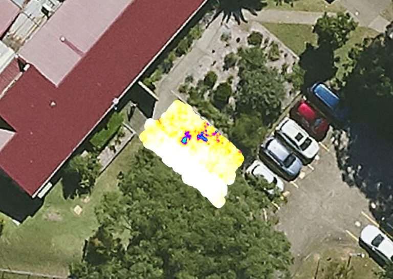
Upon completion, Geotrace delivered a comprehensive report including annotated scan images, rebar spacing measurements, depth estimates, and flagged anomalies. These results were used by the client’s engineering team to assess structural integrity and determine areas requiring closer inspection or potential reinforcement.
The non-invasive methodology allowed preservation of the historical fabric of the structure while still delivering detailed subsurface insights necessary for long-term conservation and maintenance planning.
